
Photo Courtesy: Dan Tulipani
When autumn arrives in Calaveras County, the landscape takes on a whole new character. Golden oak leaves, crisp mountain air, towering evergreens, and colorful foothill scenery make fall one of the best times of year to explore the trails. Whether you’re looking for an easy family hike, a dog-friendly trail, or a moderate adventure with beautiful views, Calaveras County has a trail for you. So lace up your hiking shoes, grab your water bottle, bring your camera, and come experience fall in Calaveras County. The trails are waiting.
Here are three great fall hikes to add to your next Calaveras County visit – one easy, one easy-to-moderate, and one you can tailor to your abilities and interests:
1. Easy: North Grove Trail at Calaveras Big Trees State Park
Location: Arnold
Difficulty: Easy
Distance: Approximately 1.7 miles
Family-friendly: Yes
Dog-friendly: No
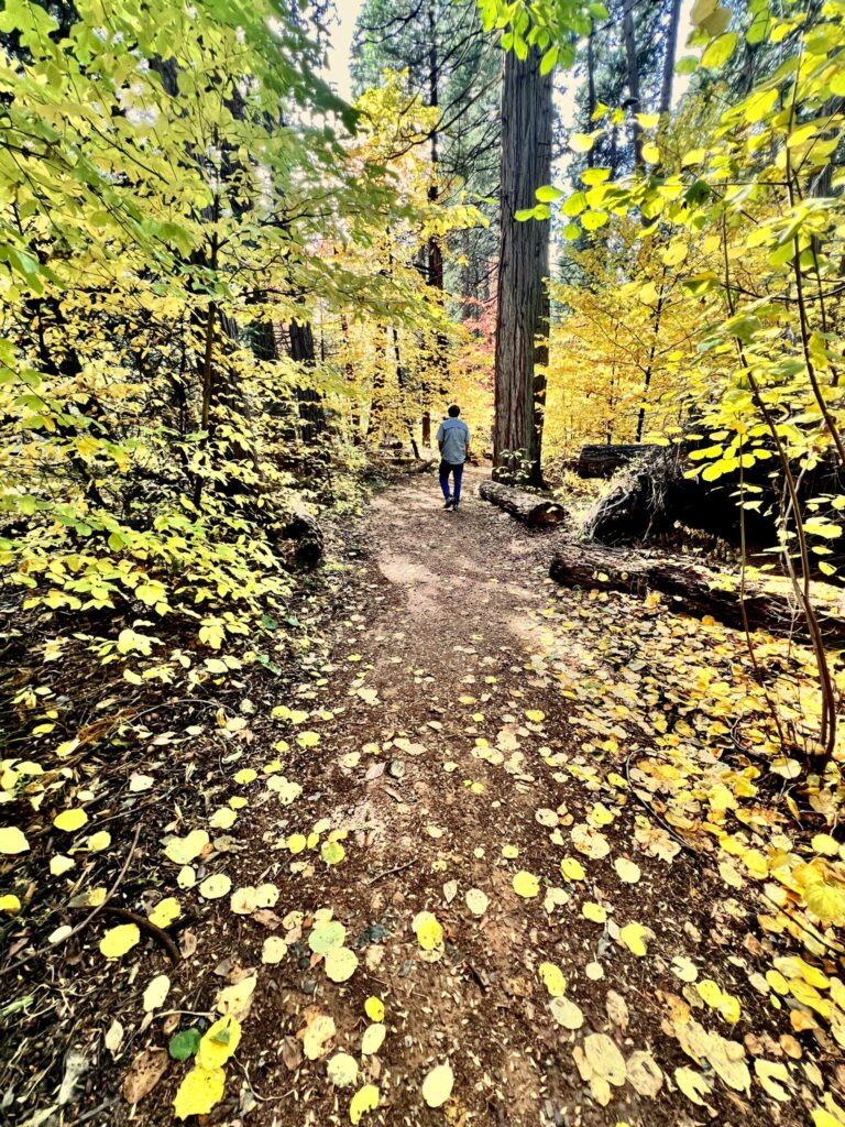
For an easy and unforgettable fall hike, it’s hard to beat the North Grove Trail at Calaveras Big Trees State Park. This gentle, mostly level loop takes you through a spectacular grove of giant sequoias and is an excellent choice for families, first-time visitors, and anyone looking for a leisurely walk surrounded by some of the largest trees on Earth.
The approximately 1.7-mile loop begins near the park’s Visitor Center and winds through the historic North Grove, where interpretive markers share information about the giant sequoias and the history of the area. California State Parks describes the trail as generally level and accessible, making it a wonderful choice for hikers of a variety of abilities.
Fall adds another layer of beauty, with colorful dogwoods and changing foliage contrasting with the enormous evergreen sequoias. Take your time, look up, and enjoy the remarkable scale of these ancient trees.
Family tip: For an even shorter outing, the park’s Three Senses Trail offers a short, accessible loop designed to encourage visitors to experience the forest through sight, sound, touch, and smell.
Traveling with a dog? Keep in mind that dogs are not permitted on the hiking trails at Calaveras Big Trees State Park. They are allowed in certain developed areas, paved roads, and fire roads, but not on the park’s designated hiking trails.
2. Easy to Moderate: Cameron Trail at New Hogan Lake
Location: 2713 Hogan Dam Road, Valley Springs, CA
Difficulty: Easy to moderate
Family-friendly: Yes, for active families
Dog-friendly: Yes, on a leash
Best for: Lake views, dogs, longer walks, fall foothill scenery
For a completely different fall experience, head to New Hogan Lake in Valley Springs.
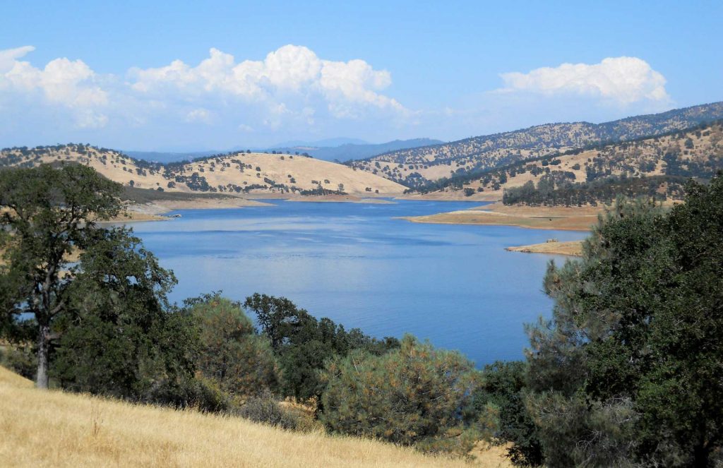
Unlike the higher-elevation forests around Arnold, New Hogan offers a classic Calaveras foothill landscape, with oak-covered hills surrounding the lake. In fall, the changing vegetation adds warm golden tones to the scenery.
The Cameron Trail is a longer route, but hikers can choose how far they want to go rather than treating the entire trail as an all-or-nothing adventure. The trail system around New Hogan Lake offers opportunities for hiking, mountain biking, horseback riding, fishing, and other outdoor activities.
Dogs are welcome at New Hogan Lake but must be kept on a leash no longer than six feet.
Family tip: If you have younger children, consider doing just a portion of the trail and turning your outing into a lakeside picnic and nature day rather than tackling the entire distance.
3. Moderate: Arnold Rim Trail – Choose Your Own Adventure
Location: Arnold and White Pines
Difficulty: Easy to challenging, depending on the section
Family-friendly: Yes – the key is choosing the right section
Dog-friendly: Yes
Best for: Fall colors, dogs, families with different abilities, mountain views, and hikers looking for a customizable adventure
If you want a fall hike that can be tailored to your group, the Arnold Rim Trail (ART) is the place to go.
Rather than being a single hike, the Arnold Rim Trail is a multi-use trail system stretching through the forests and foothills around Arnold, White Pines, and Avery. With multiple access points and destinations, you can choose a short, gentle outing or build a much longer and more challenging adventure. Dogs are welcome, although they must be kept under control, and hikers should be prepared to share the trail with cyclists and equestrians.
For visitors trying to decide which route is right for them, think of the Arnold Rim Trail as a progression:
Easy → Logging Museum Trail / accessible northern section
Begin near the Sierra Nevada Logging Museum and White Pines Lake for a gentler introduction to the trail system. The northern end includes a paved, accessible section and is a good choice for a short forest outing.
Easy to Moderate → San Antonio Falls Overlook
Continue farther into the trail system toward the San Antonio Falls area for a longer adventure through the forest, with the opportunity to descend toward the canyon and enjoy the falls overlook. This route adds more elevation change and distance but remains a popular option for a moderate outing.
Moderate → Cougar Rock
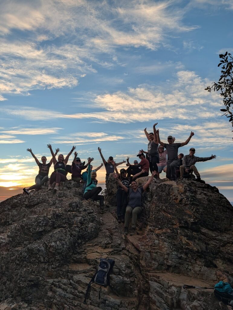
Ready for more of a workout? Head toward Cougar Rock, where the trail becomes hillier and rewards hikers with impressive views. The Arnold Rim Trail Association describes its guided Cougar Rock hike as an intermediate-level outing; a current route is approximately 4.86 miles with 860 feet of elevation gain.
More Challenging → Top of the World and Manuel Peak
For experienced hikers looking for a bigger challenge, continue toward Top of the World and Manuel Peak. These higher destinations involve additional distance and elevation and offer some of the Arnold Rim Trail system’s most expansive views.
The beauty of the Arnold Rim Trail is that you don’t have to commit to the hardest route to enjoy it. Families can choose a shorter section, casual hikers can explore the easier portions, and experienced hikers can challenge themselves with longer routes and significant elevation gain.
Dog tip: The Arnold Rim Trail is a particularly good option for visitors traveling with dogs. Keep your dog under control, bring plenty of water, and remember that the trail is shared with mountain bikers, equestrians, and other hikers.
Fall tip: The higher portions of the trail offer beautiful autumn scenery, but mountain weather can change quickly. Bring layers, water, and a trail map or offline navigation app. The Arnold Rim Trail Association recommends using a geolocated map because the trail system includes numerous intersections and connecting routes. Definitely consider stopping at the Hathaway Pines US Forest Service offices on Highway 4 for trail maps and other important hiking information.
Remember the 10 Hiking Essentials

Before heading out on the trails, make sure you have these ten essentials:
- Water – Bring plenty, especially on warmer days.
- Food & Snacks – Pack high-energy snacks or a meal for longer hikes.
- Navigation – Carry a trail map, GPS, or downloaded offline map.
- First-Aid Kit – Include basic supplies for blisters, cuts, and minor injuries.
- Sun Protection – Sunscreen, sunglasses, and a hat.
- Extra Layers – Mountain weather can change quickly, so bring a jacket or extra clothing.
- Flashlight or Headlamp – You never know when a hike might take longer than planned.
- Emergency Supplies – A whistle, emergency blanket, lighter/matches, and basic repair items can be invaluable.
- Sturdy Footwear – Wear shoes or boots appropriate for the terrain.
- Communication – Bring a fully charged phone and consider a portable power bank.
🐾 Hiking with your dog? Add a leash, water bowl, extra water, waste bags, and a few treats to your essentials.
