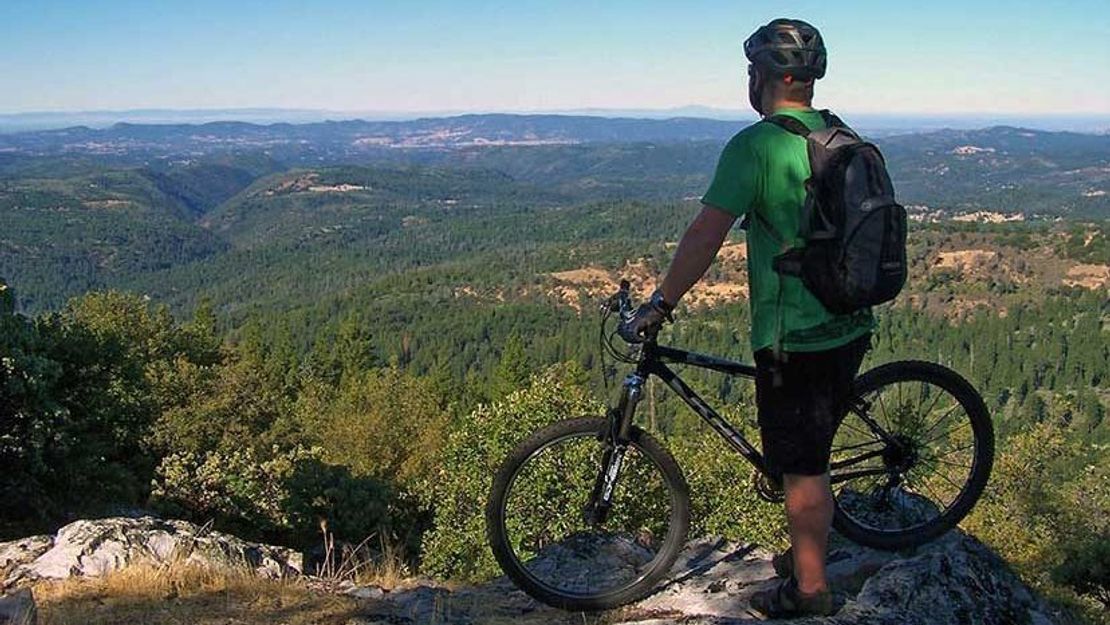
Hike, bike, or horseback ride the Arnold Rim Trail, a mid-elevation non-motorized trail in the central Sierra Nevada Mountains.
Biking the trail? Check out the Arnold Rim Trail rating on Singletracks.com.
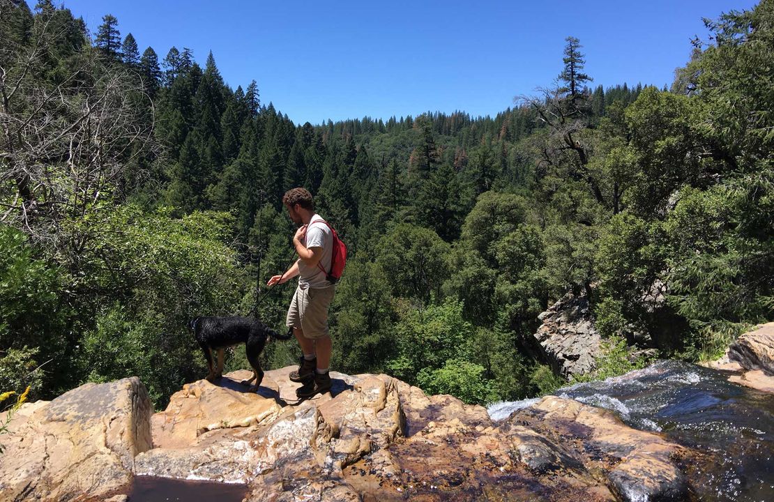
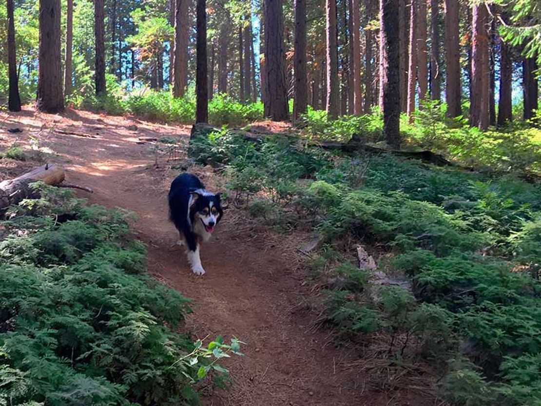
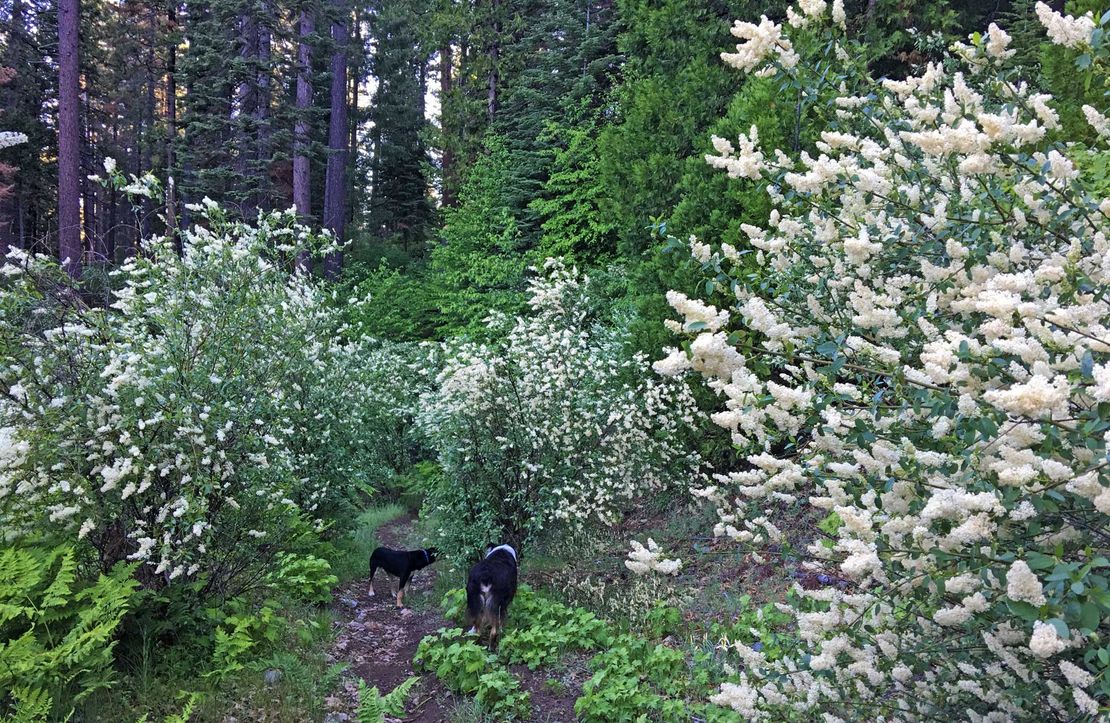
Connecting the many wonders of public lands along the Ebbetts Pass National Scenic Byway stretch of Hwy 4 to its communities, this beautiful trail creates a high level of access for its residents and visitors. As always, follow our Hop Lightly guidelines when enjoying the outdoors. Dogs are allowed on this trail on leash. Dogs off leash are also allowed if your dog follows voice commands and will come when called.
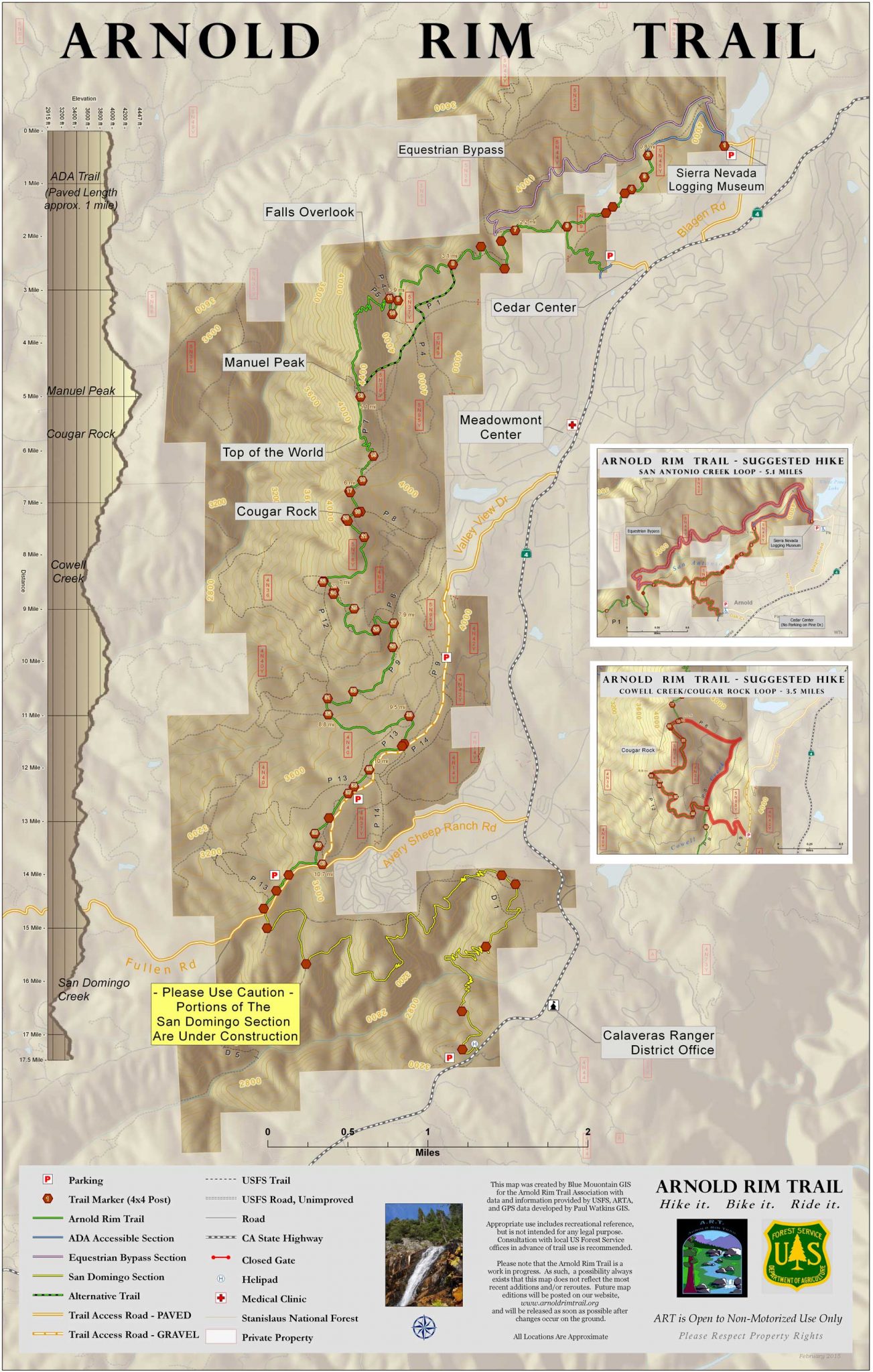
You’ll discover breathtaking vistas with panoramic views stretching from Mt. Diablo in the East Bay Area to snowy Mt. Lyell on the high eastern slopes of the Sierras near Yosemite, then dive down into canyons with streams coursing through the shade of older growth forests of cedar, pine, fir and oak. High rocky promontories, native acorn grinding rocks, a magnificent waterfall, many birds and wildlife of all kinds, and a lake lie along its current completed section in the part of the Stanislaus National Forest known as the Interface. Get more information on hiking and biking the different highlights of the trail system.
The four seasons provide beautiful changes along this system, with snow in winter, fall colors in autumn and beautiful, scented wildflowers in spring. You will also see a few giant sequoias on these trails. Pay close attention to the possibility of ticks.
Videos featuring the Arnold Rim Trail: The Pooch Perspective on the Arnold Rim Trail | Arnold Rim Trail